You can display the OpenSeaMap “layer” over all maps. OpenSeaMap is an open source project to create free nautical charts.
Warning, not all buoys and beacons are entered in OpenSeaMap, some may be incorrect. We urge you to use this layer with caution.
We invite you to contribute to the project by adding or updating lighthouses and beacons in your navigation area. You will then need to use JOSM (Java OpenStreetMap Editor).
A small installation tutorial is available on YouTube here.
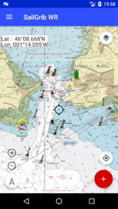
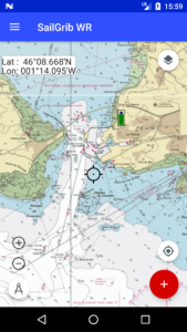
Here is an overview of La Rochelle Bay with and without the OpenSeaMap layer.
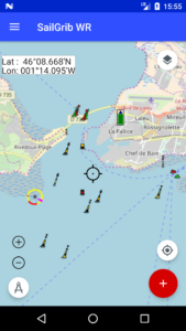
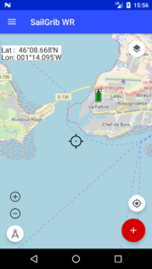
And the same using SHOM marine charts and with or without the OpenSeaMap layer.